
Rains Swamp the Gandak River
 Tommy Alien ·
Automatically curated summary from NASA.
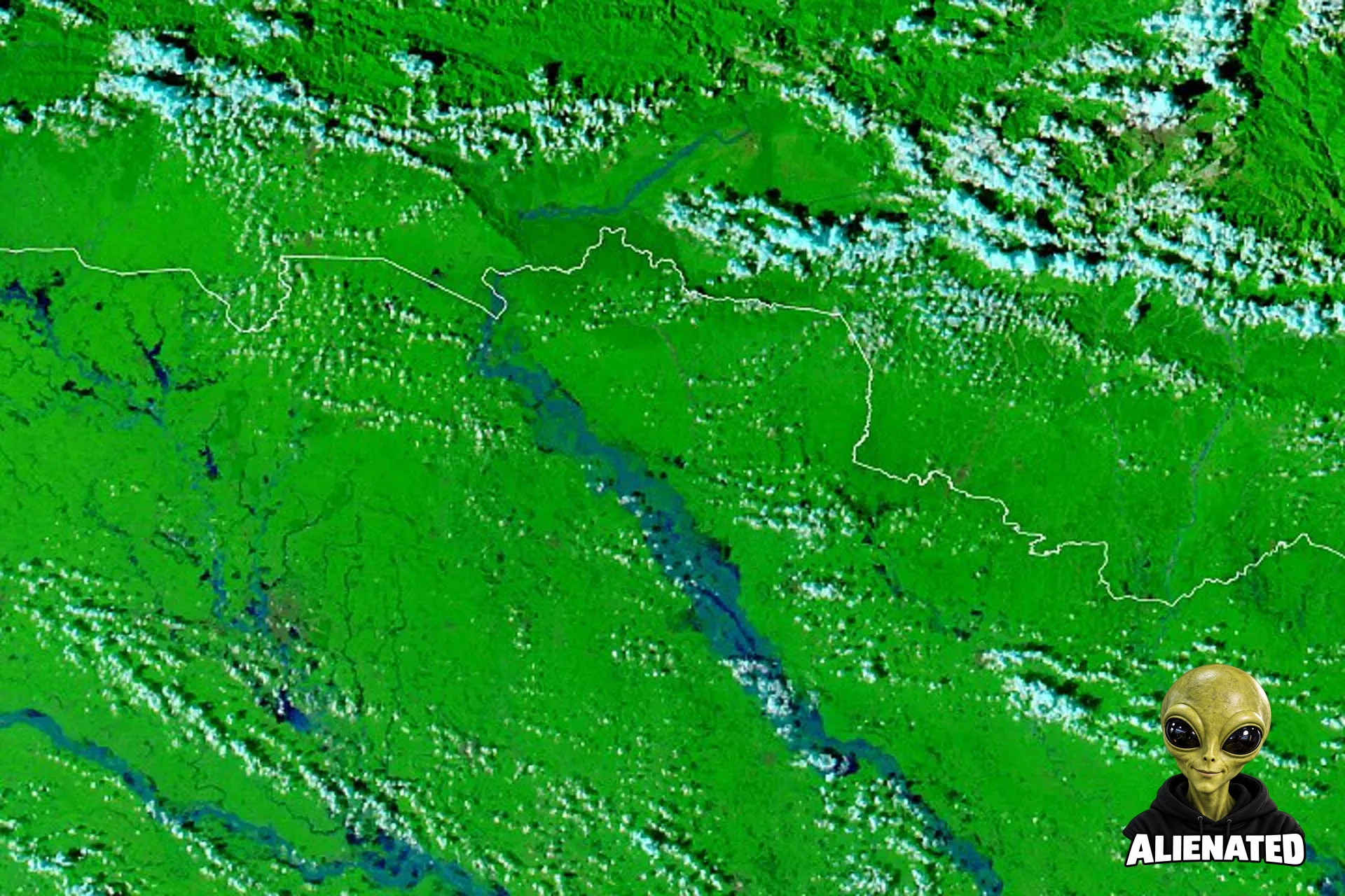
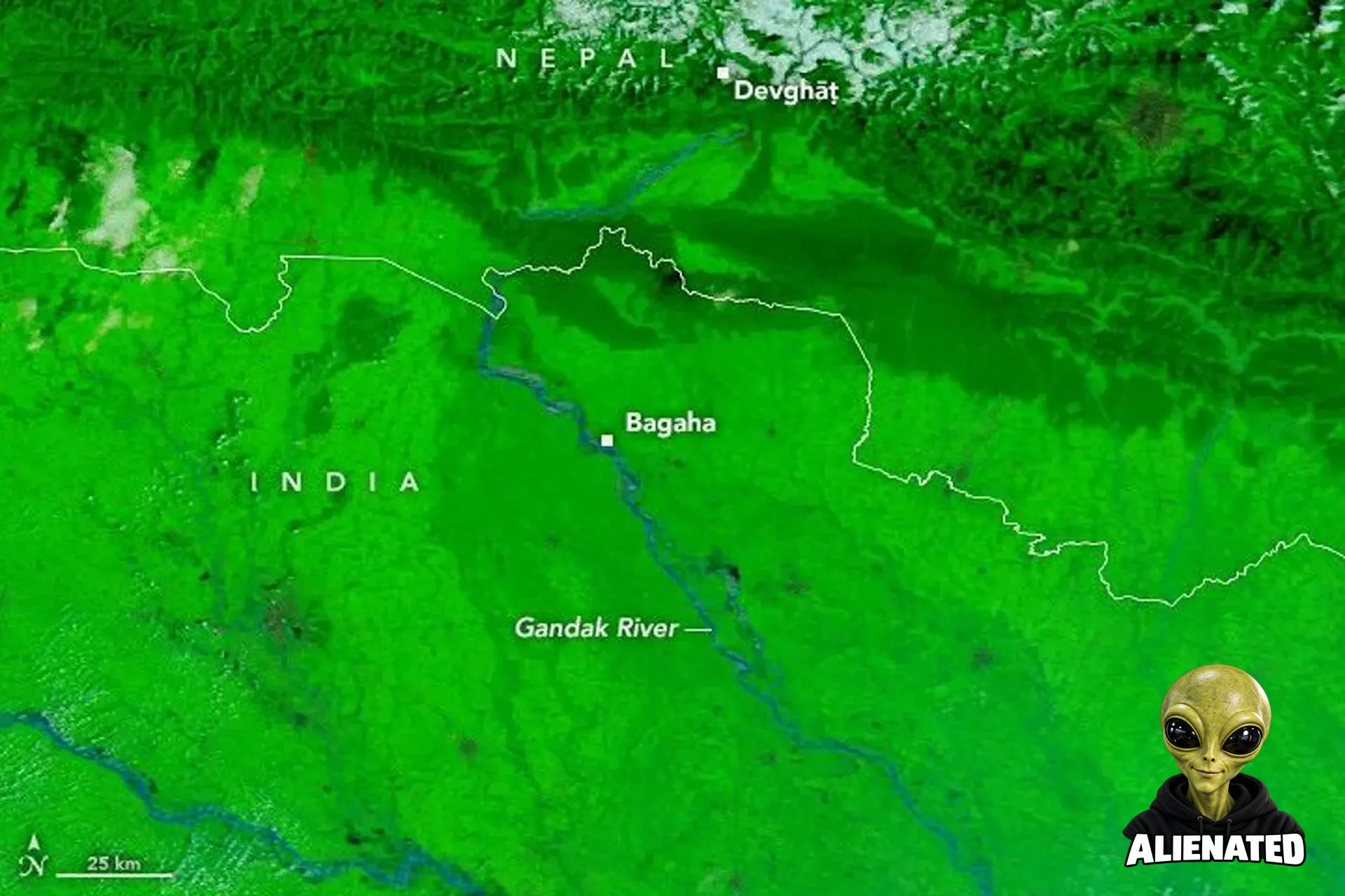
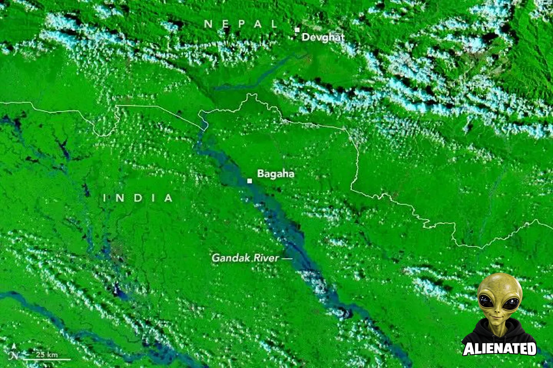
According to NASA's Earth Observatory, torrential late-monsoon rainfall between September 24 and 27, 2026, triggered severe flooding along the Gandak River across Nepal and India. Satellite imagery captured by MODIS on NASA's Terra and Aqua satellites shows river expansion, breached embankments, and inundated settlements and farmland. A hydrological gauge in Devghāt recorded a peak level of 11.94 meters, its highest since measurements began in the 1960s. NASA notes that media reports indicated hundreds of villages were affected and thousands of people displaced while damage assessments continued.
Context and limitations
Information regarding displaced populations and affected villages relies on initial news reports cited by the publisher, while formal authorities were still assessing the full extent of the damage.
Comments
Related articles

An aquanaut comes home: Returning to Earth from an undersea 'space station'
Space.com
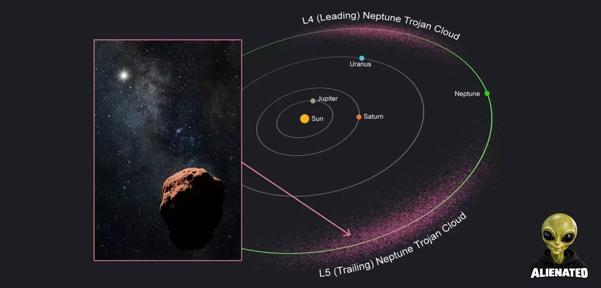
Queen's University Belfast Students Find Neptune's Elusive Trojan Asteroids
Universe Today

What Could Split a Black Hole in Two?
Universe Today